Spy Report: Ten Days / 60 Films
The Spy Newspapers may periodically employ the assistance of artificial intelligence (AI) to enhance the clarity and accuracy of our content.
Nonpartisan and Education-based News for Chestertown
The Spy Newspapers may periodically employ the assistance of artificial intelligence (AI) to enhance the clarity and accuracy of our content.
What do you do when your historic Annapolis site housing a wonderful gallery with the works of prominent local artists is somehow “non-essential.” Well, if you are proprietor Katherine Burke at the Annapolis Collection Gallery on the first block of historic West Street, you take the fine work online in a weekly auction!
One of our spies seeking a work by famed local photographer Jay Fleming found it was available at auction. After losing the first bidding contest, a high bid at the last minute at the next auction brought success.
The Annapolis Collection Gallery will deliver (depending on distance), ship or schedule a pickup time for the fortunate winners.
By the way, if you don’t really want to participate in an auction with bidding involved, most every item has a “Buy Now” price, so it’s just like online shopping.
When asked, Ms. Burke reported that the weekly auctions are “keeping the Gallery alive.”
Congratulations to success with a bold idea that serves the community, the artists and a fine Gallery in Annapolis.
The Spy Newspapers may periodically employ the assistance of artificial intelligence (AI) to enhance the clarity and accuracy of our content.
The 2019 Plein Air Easton Meet the Artists event over the weekend brought several hundred people to the historic Knightly estate on Leeds Creek off the Miles River. Alice Ryan received a warm standing ovation during dinner for hosting the event at her beautiful 81-acre farm and estate.
Guests were invited to arrive a few hours early to wander around the estate and engage with the Plein Air artists who were pressed to complete their work by 7 PM. During the reception and dinner, guests were encouraged to purchase the just completed works and well before the evening concluded, the red “sold” tags were abundant.
This week-long annual event organized by the Avalon Foundation provides a remarkable opportunity to view artists at work and, of course, to enjoy art. But, remember, the message: The best way to ensure the future of Plein Air Easton and the Health of your Arts Community is to buy art!
For more information and a complete schedule for the week: www.pleinaireaston.com
The Spy Newspapers may periodically employ the assistance of artificial intelligence (AI) to enhance the clarity and accuracy of our content.
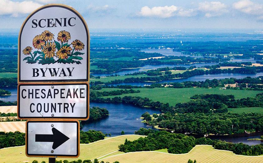
The federally chartered Chesapeake Country Byway begins at its furthermost northerly point in Chesapeake City. A recent journey north from Talbot County took just over an hour to cover the 62 miles.
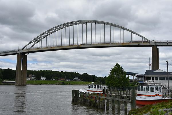
Most know that Chesapeake City sits on both sides of the Chesapeake and Delaware Canal connected by a rather spectacular bridge.
But, how many know that this 14-mile canal to our north is the third busiest canal in the world. The canal has a rich history beginning in the 17th century when early settlers sought a way to reduce water travel between Philadelphia and Baltimore by some 300 miles. Construction was completed in 1829 thanks to the hard work of some 2,600 laborers who built the structure which is 450 feet wide and 35 feet deep.
Today, all types of watercraft move back and forth between the Chesapeake Bay and Delaware Bay.
Of course, people visit Chesapeake City using all types of watercraft and vehicles!
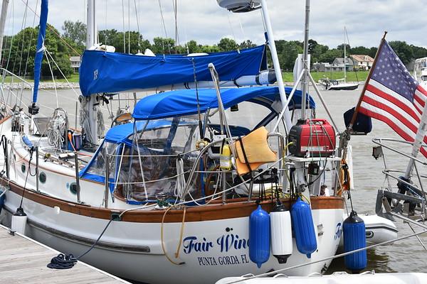
No matter how one arrives, the area pulses with adventure. Sailing vessels and motor vessels packed the marina as summer was beginning. A group of sailors enjoyed coffee and conversation. No doubt, some were beginning their adventure and some were returning. Whether from Florida or a nearby marina, boaters were enjoying their preparations and the fellowship with other boating enthusiasts.
The area is filled with small inns, shops and restaurants. There were many people strolling the streets on the overcast day. So, even without a boat, just checking in for a weekend would provide a delightful chance to take in the history and the adventure of Chesapeake City and then travel south along the Scenic Byway. This guide can help with your own walking tour.
The Spy Newspapers may periodically employ the assistance of artificial intelligence (AI) to enhance the clarity and accuracy of our content.
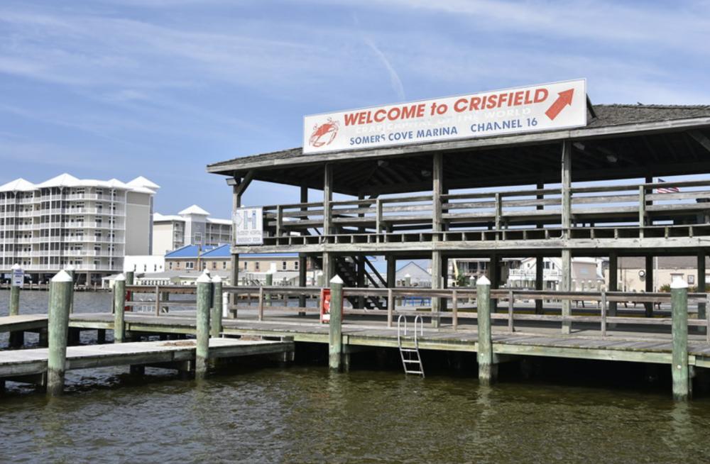
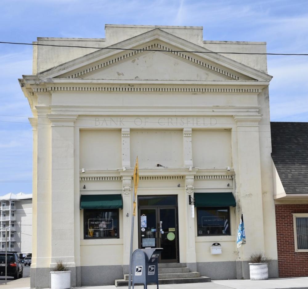
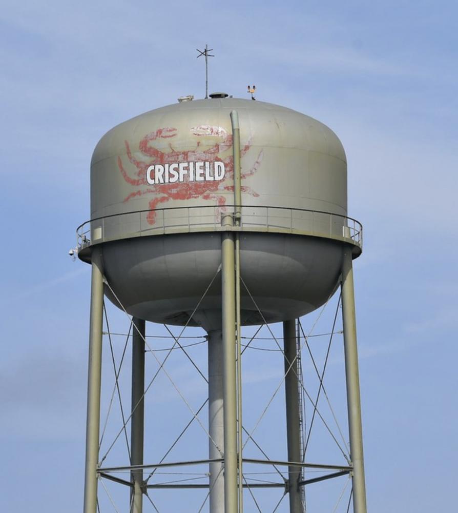
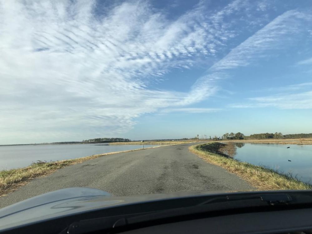
The southernmost place on the Chesapeake Country Scenic Byways map is Crisfield, Maryland [insert Maryland state Scenic Byways website. A visit from Easton takes you 87 miles along the Scenic Byway and there are a number of interesting stops along the way. On this day, direct to Crisfield was the plan with a few decades having passed since the last visit.
One is immediately struck by the contrasts. Fast food places with long established seafood diners along the route…no longer the train track, but highway 413 about as straight as the rail. The route ending at the decades-old pier with a skyline that now shows condominiums next to the fresh seafood delivery trucks.
A fascinating history has not made the struggle in the present any easier. However, a determined community offers its visitor a number of enjoyable sites, tours, meals and activities.
Located on Tangier Sound, Crisfield was originally a small fishing village, Annemessex Neck. As Europeans colonized the area, it was renamed Somers Cove. The active fishing village grew and reportedly, in 1804 there were over 100 buildings in the area, making it one of the largest places on the Delmarva Peninsula. The growth continued as the town became known as Crisfield for the man who decided to bring the Pennsylvania Railroad to the fishing village in 1866. The fishing village grew to become known as the “Seafood Capital of the World.”
Crisfield would grow to about 25,000 people in 1904 making it the second largest city in Maryland after Baltimore. And, seafood from Crisfield was being shipped throughout the country.
Decades later, as the health of the Chesapeake Bay declined, the way of life for the watermen became more difficult. Then, in 1976 the railroad shut down.
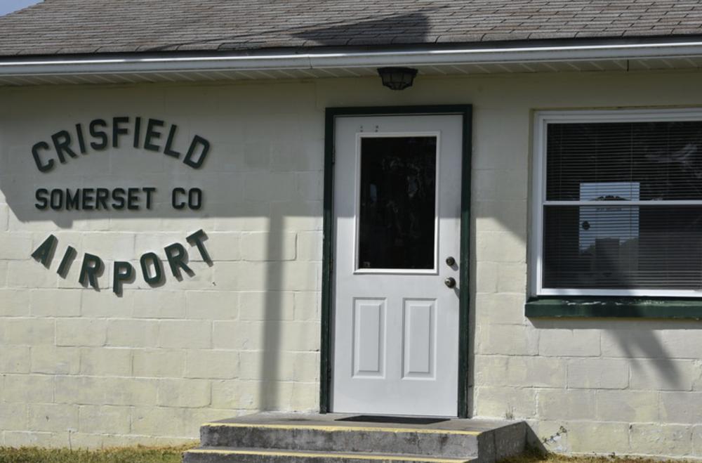
Today, with not quite 3,000 residents, Crisfield remains a tourist location and jump off point to Smith Island and Tangier Island. There are seafood restaurants and beautiful camping areas and of course an historic marina. There is even an airstrip for the adventuresome pilots.
TripAdvisor provides interesting options for visitors to consider
This southernmost point of Chesapeake Country delivers on its promise as scenic, especially when viewed through the lens of its rich history.
The Spy Newspapers may periodically employ the assistance of artificial intelligence (AI) to enhance the clarity and accuracy of our content.
If you take no other intentional tour along the Chesapeake Country Scenic Byways, find time for a visit to The Blackwater National Wildlife Refuge just south of Cambridge. Less than 30 miles fr
om the center of Easton, the visit offers an experience not easily matched. In fact, the refuge has been referred to as the “Everglades of the North,” and is called one of the “Last Great Places” by the Nature Conservancy.
Before being declared a wildlife refuge, the marshland along the Blackwater River was managed as a fur farm. Then, in 1933, The Blackwater National Wildlife Refuge was established as a waterfowl sanctuary for birds migrating along the Atlantic Flyway.
While the area is large, visitors can experience the heart of the Refuge by going to the entrance at Wildlife Drive. Click here for the map.
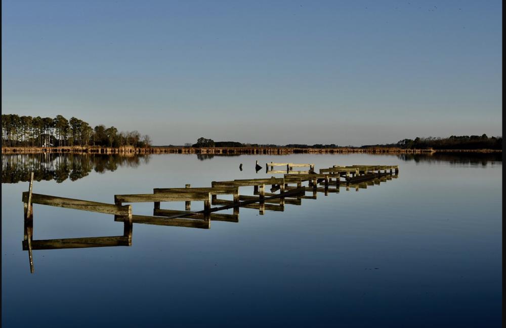
Here is a scene captured one quiet morning near the entrance to Wildlife Drive….just to provide a feeling for the natural beauty of the area…
Along Wildlife Drive, you will see wildlife…sometimes when you least expect it, so go slow! The drive is a four and a half mile paved road that winds along freshwater ponds, through woods, past fields, and adjacent to marshes. You enjoy it best by pulling off and just watching the wildlife.
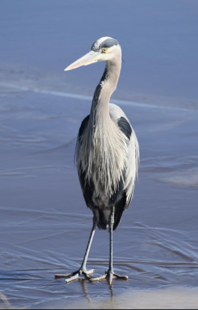
On one recent cold morning, a Blue Heron stood still for more than one photographer…
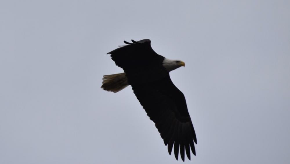
One of the most remarkable sites involves the American bald eagles. Blackwater is home to the largest breeding population of American bald eagles on the East Coast, north of Florida. And, they are sited frequently while just driving through the Refuge.
Of course, there are numerous areas to hike and get off the road for even better looks at the waterfowl and wildlife. If you visit once, you will most likely come back throughout the year for brand new experiences.
For more information, click here for the Blackwater brochure:
The Spy Newspapers may periodically employ the assistance of artificial intelligence (AI) to enhance the clarity and accuracy of our content.
Known for hunting, fishing and crabbing, Taylors Island claims a population of fewer than 200 people who live just 16 miles southwest of Cambridge, Maryland. Turning onto one of the side trips of the Chesapeake Country’s Scenic Byway from Highway 50, state route 16 takes travelers all the way to a bridge over Slaughter Creek and onto the island. Today’s bridge completed in 1999 replaced the wooden bridge from 1856. Prior to that, a ferry connected the island to the mainland.
On the island side of the bridge, you are greeted by an historical marker and a worthy stop to read about the history of The Battle of the Ice Mound, the last battle in the war of 1812 in the Chesapeake Bay. The event occurred on February 7, 1850 and a captured cannon is located on the site.
Reportedly, the island was originally called “Taylor’s Folly” in 1662 when the Taylors took ownership of 400 acres of land on the island. A short (but, perhaps dated) history of the island is found on the Taylors Island Facebook page.
“Taylor’s Island is about six miles long, lying parallel with Chesapeake Bay, on the western border of the county, and separated from the mainland by Slaughter Creek, and from Hooper’s Island by Punch Island Creek.
Colonists from St. Mary’s and Calvert Counties settled on this island ten years before the County of Dorchester was laid out. Thomas Taylor, after whom the island was named, Raymond Staplefort, Francis Armstrong and John Taylor, were among the early settlers, who cleared the land of timber and made fine farms there.
The cultivation of tobacco and corn was the principal employment and the chief products raised for support of the people during the first century of the colony. From the year 1700, timber and lumber trade increased for the next 150 years to the extent of a profitable industry. Soon thereafter catching oysters for sale in city markets rapidly became a paying business and is still a trade of much activity. The revenue derived from oysters has added valuable and attractive improvements to this section of the county.
On the island are three fine churches, large stores, canneries, and fine dwellings, the homes of well-to-do and cultured people.”
Traveling around the island brings beautiful panoramic views of a charming, wooded and quiet place.
There are beautiful churches on the island. Below is the Chapel of Ease Old Trinity Episcopal Church which dates to around 1707.
While there are clearly roads less traveled…
….you can round a point and come upon views of the Bay complete with snow geese!
Finally, either on the way to Taylors Island our on the way out, don’t miss a stop at the Woolford Country Store for a breakfast or lunch.
Like so many of the miles of Scenic Byway, a trip to Taylors Island connects us all with a bit of the past as these small communities build their future.
The Spy Newspapers may periodically employ the assistance of artificial intelligence (AI) to enhance the clarity and accuracy of our content.
Following a recent column on our Scenic Byways throughout Chesapeake Country, we sent a Spy or two out to take a closer look. Here is the first field report out along the Scenic Byways…
Field Report: Chestertown to the Eastern Neck National Wildlife Refuge.
Travel to Chestertown. Enjoy the historic and attractive downtown shops as you head to Route 20 going south. The trip to the National Wildlife Refuge takes about 30 minutes as you drive through farm country out of Chestertown.
Just 7 miles past Rock Hall, the road leads the traveler onto Eastern Neck Island over an old wooden bridge.
Sitting between the Chester River and the Chesapeake Bay, the 2,285-acre island is a refuge managed by the US Fish and Wildlife Service and it is a major feeding and resting place for migrating and wintering waterfowl. You can also see the endangered Delmarva fox squirrel and the southern bald eagle
Entering from the north, most of the island is accessible by car. And, there are plenty of places to walk as well with nearly 6 miles of trails, roads and boardwalks.
If you want to bring a kayak, there is an entire tour around the island that starts at Bogles Wharf which is marked by road signs. The Chester River Steamboat Company built the original Bogles Wharf in 1867 and it operated until around 1910. You will want to stop at the Visitor Center and pick-up a full guide of the water tour around the island.
Upon leaving the island, two white geese seemed to bid us farewell as we passed back over the wooden bridge and worked our way north to more of the Scenic Byway.
Returning north past Rock Hall towards Chestertown one comes across The Inn at Huntington Creek. With much to do in the area, the Inn looks to be an ideal place to spend a night or two. In addition to what the Inn offers, Rock Hall is a fine place to enjoy crab and seafood.
If you have a favorite Scenic Byway, share by clicking above for the Comments section and the Spies will do the rest!
The Spy Newspapers may periodically employ the assistance of artificial intelligence (AI) to enhance the clarity and accuracy of our content.