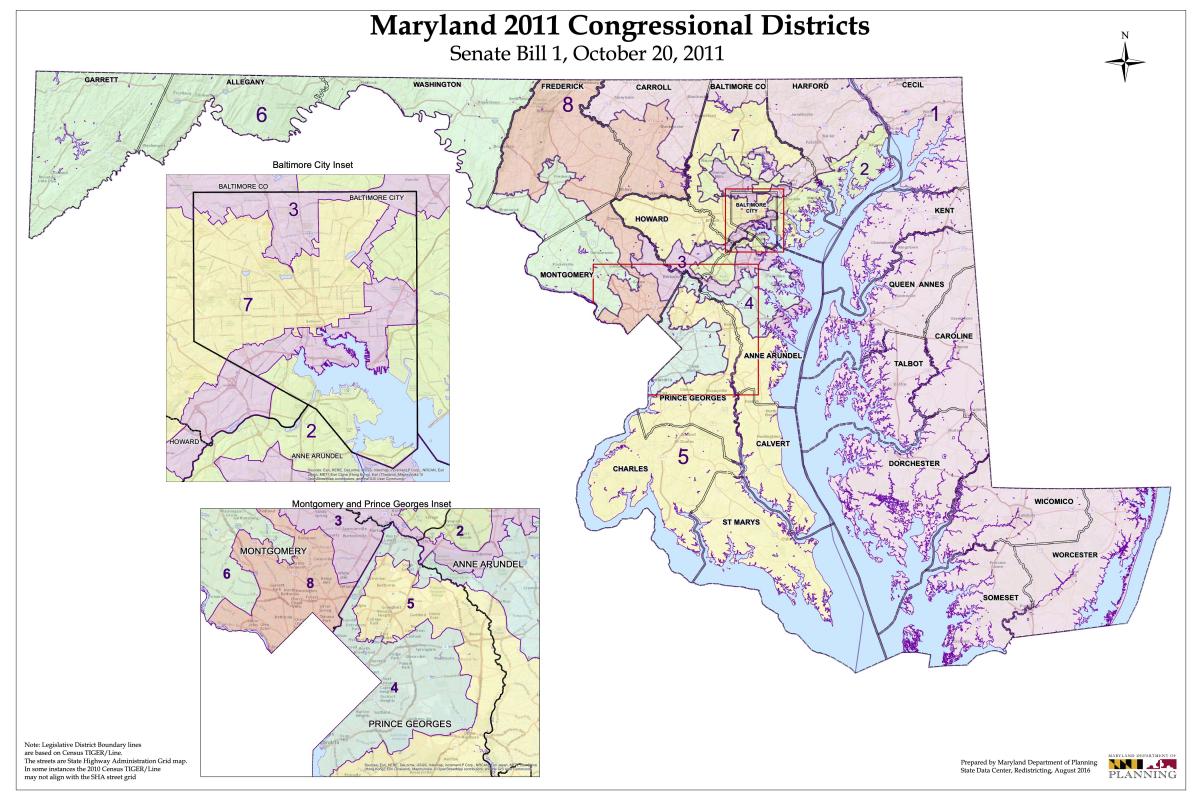
Maryland lawmakers later this year will draw new maps for the state’s congressional districts based on the latest population statistics from the 2020 Census.
The U.S. Constitution requires the census to be conducted every 10 years. The population numbers are then used by states to draw new congressional districts, which typically is completed in time for the congressional election two years after the census.
Following the decennial census, federal law requires states to be notified by Jan. 25 by the clerk of the U.S. House of Representatives on the number of congressional seats that state will have for the next 10 years.
That notification will be delayed this year, however, as the U.S. Census Bureau continues processing and tabulating the population numbers.
According to The Washington Post, the census bureau currently believes it will finalize state population numbers by March 6, more than two months after the Dec. 31 deadline.
The deadline was missed as a result of delays caused by the coronavirus pandemic and changes made by the administration of President Donald Trump, which is being sued over some of its decisions concerning the census.
Although the count continues, population estimates suggest Maryland will retain its eight seats in the U.S. House of Representatives.
Once the state is told how many seats it will have, Maryland lawmakers will draw new boundaries for those congressional districts. After the congressional map is approved by the Maryland General Assembly, it is subject to veto by Gov. Larry Hogan.


