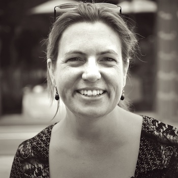
Shakespeare scholar Janelle Jenstad, director of The Map of Early Modern London (MoEML), will speak at Washington College on Wednesday, September 10, at 4:30 p.m. Her talk, “Building a Digital Gazetteer for Shakespeare’s London,” will take place in Litrenta Lecture Hall, inside the Toll Science Center, and is free and open to the public.
Jenstad, an associate professor of English at the University of Victoria in British Columbia, Canada, will talk about how and why she and her MoEML colleagues are using Text Encoding Initiative (TEI) and Geographic Information Systems (GIS) technologies to map the streets, sites, and significant boundaries of late sixteenth-century and early seventeenth-century London (1560-1640). Researchers and encoders at MoEML are producing four distinct but interoperable digital products: a map and gazetteer based on the 1560s Agas woodcut map of London; an encyclopedia of London people, places, topics, and terms; a library of marked-up texts rich in London toponyms; and a versioned edition of John Stow’s Survey of London, 1598, 1603, 1618, and 1633.
In addition to her work on MoEML, Jenstad serves as assistant coordinating editor of the Internet Shakespeare Editions. She has contributed numerous essays and chapters to literary journals and books. Her visit to Chestertown is sponsored by Washington College’s Sophie Kerr Committee, Center for Environment & Society, and Geographic Information Systems Program. For more information, visit the web sites for the Rose O’Neill Literary House at Washington College, and the Map of Early Modern London project.


Write a Letter to the Editor on this Article
We encourage readers to offer their point of view on this article by submitting the following form. Editing is sometimes necessary and is done at the discretion of the editorial staff.