 The 12-month “water year” that ended September 30 had the highest river flows into the Chesapeake Bay since such monitoring began 82 years ago, according to the U.S. Geological Survey.
On average, more than 974,000 gallons of fresh water surged into the Bay each second last year, which was also the second consecutive year that river flows in the Bay were above normal. It marks the first time the Chesapeake has borne the brunt of back-to-back high flow years since 2003 and 2004, according to USGS data.
Such large freshwater flow years carry an increased amount of nutrients and sediment that are flushed off the land into rivers and ultimately the Bay. Sediment and nutrient-fueled algae blooms cloud the water, causing crucial underwater grass beds to die off. And when the algae die and decompose, the process draws oxygen out of the water leading to so-called “dead zones” that are off-limits to most fish and other aquatic life.
Indeed, monitoring by the Maryland Department of Natural Resources this year revealed the third-largest dead zone since monitoring began in 1985. In late July, slightly more than 2 cubic miles of water in Maryland’s portion of the Bay were hypoxic — meaning they had too little oxygen to support most Bay life.
A report from the Virginia Institute of Marine Science, which uses a computer model to estimate the size of the entire Bay’s dead zone, reached a similar conclusion.
It found that on average during the summer, hypoxic conditions affected 8% of the Bay, which was among the highest levels since 1985. At its greatest extent, in late July, about 3.14 cubic miles or 17% of the Bay were effectively off-limits to most fish.
Although water quality was poor, Marjy Friedrichs, a VIMS professor and co-author of the annual estimate, said the hypoxic area might have been even larger had it not been for nutrient reductions made since 1985. She noted that this year’s record-setting flows did not result in worse hypoxic conditions over the full summer.
“Given that it was so wet, we were lucky that the hypoxia wasn’t even worse,” she said.
During the 12-month period that ended Sept. 30, the USGS estimated that the combined flows of all rivers entering the Bay averaged 130,750 cubic feet per second.
The USGS assesses flows into the Bay based on a hydraulic “water year” that begins Oct. 1 because that is when river flows typically begin to increase after dry summer months.
The previous record was caused
by Tropical Storm Agnes in the 1972 water year, when average flows were 121,125 cfs.
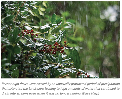
Unlike Agnes, which sent a tremendous amount of water into the Bay during a matter of weeks, the more recent high flows were caused by an unusually protracted period of precipitation that saturated the landscape, leading to high amounts of water that continued to drain into streams even when it was no longer raining.
From May 2018 through July 2019, freshwater flows were higher than normal for all but two months — and sometimes far above normal — according to USGS figures.
Besides causing a large dead zone, the surge of freshwater led to the loss of ecologically important underwater grass beds in many areas, the spread of invasive blue catfish and snakeheads around the Bay, and the loss of oysters in some areas.
By Karl Blankenship on December 02, 2019


Write a Letter to the Editor on this Article
We encourage readers to offer their point of view on this article by submitting the following form. Editing is sometimes necessary and is done at the discretion of the editorial staff.