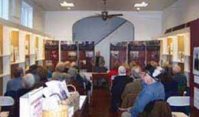
In 1877, the voting districts and established villages and towns of Kent and Queen Anne’s Counties were featured in a set of beautiful, colored maps. This set, known as the Lake, Griffing & Stevenson Atlas of Kent and Queen Anne’s Counties, has now been re-published by local historian Kevin Hemstock. The Atlas is now on display at the Bordley History Center, and Hemstock will be at the Center on First Friday, December 5, at 5:30 p.m. to talk about the Atlas.
The Atlas, reproduced in slightly reduced form from the original, was published and marketed for local purchase. The maps include not only local voting districts, villages, and towns but also Baltimore, the State of Maryland, the United States, and the eastern and western hemispheres. Drawings of local buildings and scenes in the original atlas are also included in the re-published version, offering a view, in some cases, of buildings that no longer exist and scenes that have dramatically changed.
The Atlas also contains a vast amount of genealogical information because the district and town maps show where individuals lived. There is also a list of ‘patrons,’ showing acreage owned, post office locations, occupations, nativity, and date of settlement. “This Atlas is a trove of information often not available from other sources,’ said Hemstock. “It is one of the best reference tools for local historians and genealogists for the era represented.”
Copies of the new Atlas are available for $35 at the Bordley History Center. A portion of the proceeds from each sale benefits the Historical Society of Kent County.


Write a Letter to the Editor on this Article
We encourage readers to offer their point of view on this article by submitting the following form. Editing is sometimes necessary and is done at the discretion of the editorial staff.