

Heading into the special session this week, two congressional redistricting proposals were on the table: one put forward by Democratic legislative leaders’ Legislative Redistricting Advisory Commission, and another from Republican Gov. Lawrence J. Hogan Jr.’s Maryland Citizens Redistricting Commission.
On Monday, lawmakers advanced the Legislative Redistricting Advisory Commission (LRAC) proposal out of the House Rules and Executive Nominations Committee and didn’t move the Maryland Citizens Redistricting Commission (MCRC) redistricting plan forward.
On Tuesday, the House of Delegates approved the LRAC proposal following an unsuccessful attempt by Republicans to amend it by replacing its map with the map proposed by the MCRC.
On Wednesday, the Senate passed the LRAC redistricting plan after Republican senators made a similar attempt to amend it.

Gov. Lawrence J. Hogan Jr. (R) pushes a veto stamp onto the congressional redistricting proposal passed by the Democratic supermajority in the General Assembly. Photo by Danielle E. Gaines, Maryland Matters
On Thursday, Hogan vetoed the LRAC redistricting plan at a press conference at 2:15 p.m.
And the General Assembly swiftly overrode Hogan’s veto, roughly an hour and a half after he announced it. The House voted 96-41 in favor of an override, the Senate supported the move 32-14.
Hogan’s veto was not a surprise. The governor had promised to oppose any redistricting proposal that differed from the one put forward by his Maryland Citizens Redistricting Commission, a panel that included three Republicans, three Democrats and three unaffiliated voters. Hogan appointed the three co-chairs of that commission.
Democrats hold a veto-proof majority in both the House of Delegates and the state Senate. And they also overrode Hogan’s vetoes of several measures from the 2021 legislative session during the special session.
Senate President Bill Ferguson (D-Baltimore City) and House Speaker Adrienne A. Jones (D-Baltimore County) convened the Legislative Redistricting Advisory Commission, which they are members of.
The debate over Maryland’s congressional maps won’t end with the override votes. Fair Maps Maryland, an organization with ties to Hogan, announced plans for a lawsuit challenging the congressional redistricting plan just moments after the state Senate approved it Wednesday evening.
Hogan said he opted to veto the maps Thursday rather than waiting until the end of the legislative session to “allow the court process to begin.”
On Monday, U.S. Attorney General Merrick B. Garland announced a lawsuit challenging the Texas’ redistricting plan that the state’s Republican-led legislature approved in October. Garland charged that plan would disempower Black and Latino voters.
Hogan echoed Sen. Stephen S. Hershey (R-Middle Shore), who suggested on Wednesday that Garland should also scrutinize the Maryland General Assembly’s redistricting plan.
“He needs to take a look at exactly what we’re doing here in Maryland with respect to the same reason that he’s suing the state of Texas,” Hershey said Wednesday.
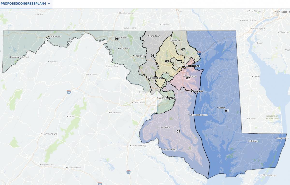
The LRAC map includes two majority Black districts — the 4th and the 7th — and creates a 5th Congressional District with a Black plurality for a total of three districts with a majority people of color.
In the current congressional map, the 4th and 7th are majority Black and the 5th has a white plurality. The Maryland Citizens Redistricting Commission map would have included one majority Black district and three additional districts with a majority people of color.
“These gerrymandered maps will be challenged in both the federal and the state courts,” Hogan said Thursday.

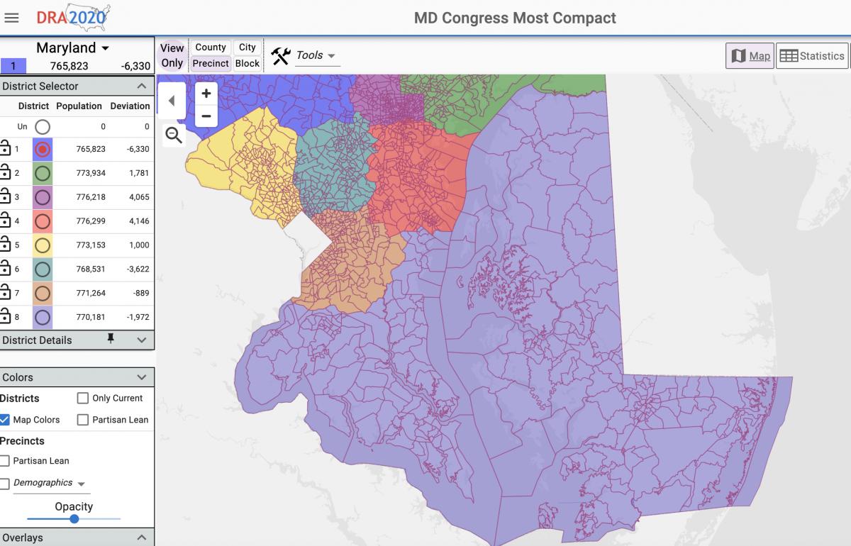
The congressional map adopted by the Legislative Redistricting Advisory Commission. Screenshot from the Maryland General Assembly website.
Democratic lawmakers have defended the LRAC congressional map. Senate President Pro Tem Melony G. Griffith (D-Prince George’s), a member of the LRAC, said during Wednesday’s floor debate that the commission was “very mindful” of complying with the Voting Rights Act.
“I’m confident that we have provided the opportunity for minority voters to vote for their preferred candidate, as we intended,” Griffith said.
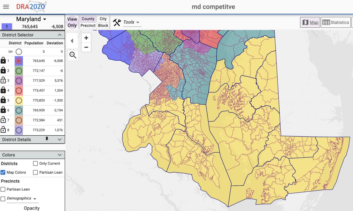
While Republicans have highlighted the fact that the MCRC aimed to minimize county splits in its congressional redistricting proposal, Democratic lawmakers have said compactness is secondary to compliance with the Voting Rights Act and minimizing population variances.
The legislative panel also aimed to keep as many voters in current districts as possible while the MCRC opted to not consider existing districts at all when drawing up maps.
“Maryland’s geography is unique, and our population is varied,” Senate Majority Leader Nancy J. King (D-Montgomery) said Wednesday. “Taking all that into consideration, I am confident that this map is a fair one, and one that reflects the lived experience of Marylanders.”
Just one Democratic lawmaker in either the House of Delegates or the Senate voted to sustain Hogan’s veto: Del. Gabriel T. Acevero (D-Montgomery). Acevero said in an interview that “gerrymandering is wrong no matter the party.”
Acevero said that, despite his objections to the LRAC map, he didn’t find the Maryland Citizens Redistricting Commission map any better.
“The commission was pretty much chosen by Hogan,” Acevero said. “It’s not independent.”
Acevero said all lawmakers and Hogan should support the federal For The People Act, which would require nonpartisan redistricting commissions across the country. That legislation, sponsored by Maryland Rep. John P. Sarbanes (D), passed the U.S. House of Representatives earlier this year but has been blocked by Republicans in the Senate.
“What we need is both parties calling on the U.S. Senate to abolish or reform the filibuster and pass the Freedom to Vote Act, which does away with partisan redistricting,” Acevero said. “I believe in democracy and I think the democratic thing to do is for senators to do their job.”
Asked if he had received or worried about blowback from his fellow Democrats, Acevero replied, “Come on, man. I’m always going to do what I think is the right thing.”
The General Assembly isn’t done with redistricting, either: Lawmakers will tackle state legislative redistricting when they return for their regular session in January. As with congressional redistricting, lawmakers will weigh proposals from both the MCRC and the LRAC.
The LRAC hasn’t released a legislative redistricting proposal yet.
Like the MCRC’s congressional proposal, that panel’s legislative redistricting proposal received an “A” rating from the Princeton Gerrymandering Project, which scored the plan based on competitiveness, partisan fairness and geographic features. The LRAC congressional map received an “F” based on those criteria. Democratic lawmakers took issues with Princeton’s scoring system because it doesn’t factor in Voting Rights Act compliance.
Constitutionally, Hogan can’t veto the General Assembly’s legislative maps, but his proposed maps become law if the General Assembly doesn’t pick an alternative within the first half of the 2022 legislative session.
By Bennett Leckrone, Josh Kurtz, and Danielle E. Gaines