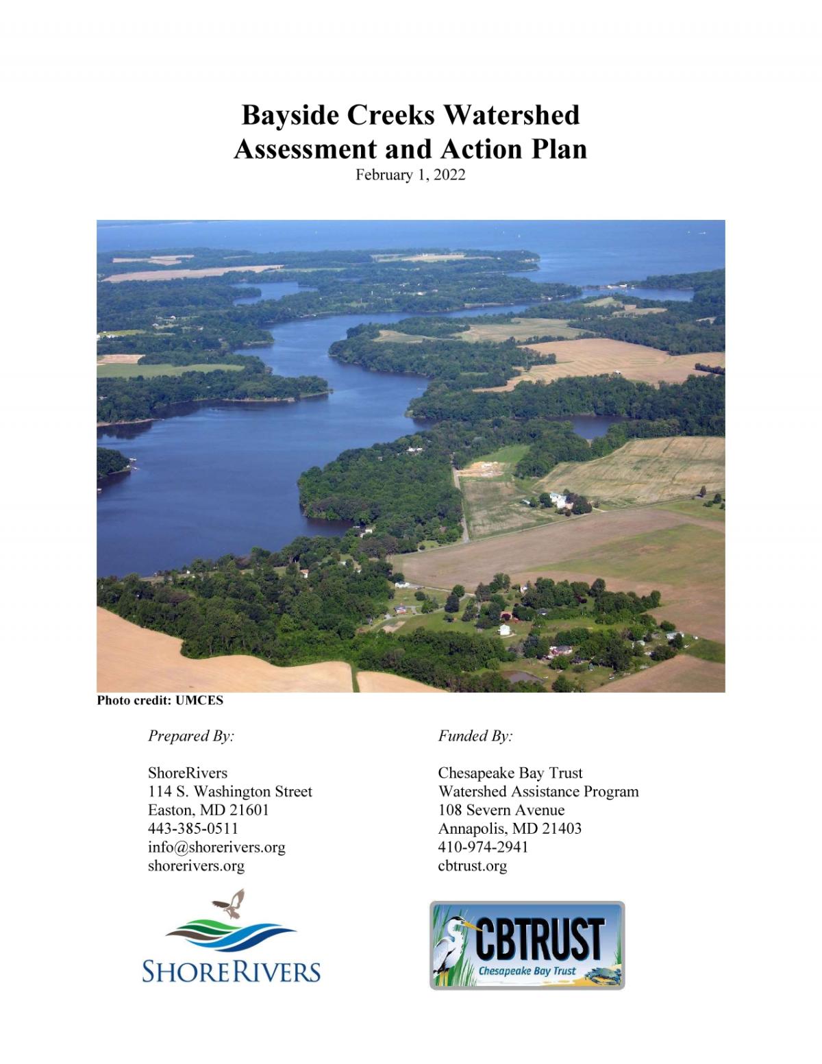
 ShoreRivers recently completed a yearlong assessment of the Bayside Creeks watershed, comprising Still Pond, Churn, Worton, and Fairlee Creeks in western Kent County. This was the first time a comprehensive assessment has been conducted for these four waterways, culminating in the Bayside Creeks Watershed Assessment and Action Plan.
The goals of the assessment were twofold: identify sources and quantities of nutrients and sediment loads impacting these creeks and ultimately the Chesapeake Bay; and create a management plan with a prioritized list of actions that ShoreRivers, Kent County, and other watershed partners can use as a blueprint to help reduce inputs and improve water quality. The resulting management plan includes an assessment of existing water quality data, point source discharge permit analysis, a targeted load reduction strategy, a cost-benefit analysis of potential retrofits used to prioritize projects, several concept designs for high priority projects, a list of possible funding sources, an implementation timeline, and a geographic information system (GIS) analysis of land use, site conditions, and restoration opportunities.
“The results of this assessment provide a thorough analysis of current conditions on these four creeks and will help guide our communication and restoration priorities for years to come,” said Sassafras Riverkeeper Zack Kelleher. “These waterways and communities haven’t had a seat at the table until recently, and now we have a comprehensive plan to move forward with engaging these communities and restoring these waterways.”
The Bayside Creeks watershed is roughly 37,803 acres and falls between the Sassafras River and Chester River watersheds. It has previously been left out of many restoration efforts and water quality monitoring because it was not represented by a watershed organization. ShoreRivers incorporated the Bayside Creeks region into its territory in 2019, and has been working to increase restoration, education, and water quality monitoring efforts in these four creeks since then. This specific watershed-based plan is vital for these creeks due to their historic underrepresentation in water quality improvement efforts and to establish a baseline for future restoration and outreach work.
The Bayside Creeks watershed land use is similar to the nearby Sassafras and Chester watersheds—approximately56% agriculture, 28% forest, 7% developed, and 9% wetlands. These creeks suffer from the same problems that affect the Sassafras, Chester, and most Eastern Shore waterways, including high phosphorus loading, wetland loss, erosion, and algal blooms.
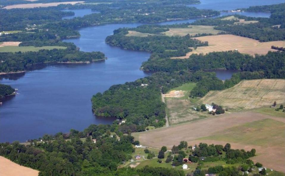
However, the Bayside Creeks provide a stark contrast to many agriculturally-dominated watersheds. Conservation best management practices have been implemented at a scale that is not often seen, addressing nutrient and sediment loading both at the source and through transport. Grassed waterways are the norm rather than the exception and most stream segments are well buffered with mature forest or grasses. Farm ponds and wetlands are numerous and, in most instances, work in tandem with grassed waterways to provide a “treatment train” toslow down erosion, provide storage for stormwater, and treat nutrients. Analysis was completed using water quality data, GIS analysis, and ground-truthing with site visits.
ShoreRivers has developed concept plans for the restoration of three specific streams. The organization is actively pursuing funding to design and implement these plans in the next couple of years. Concept plans can be viewed on ShoreRivers’ website (link below).
“I’m looking forward to working with landowners and neighborhood groups to bring more resources to the Bayside Creeks watershed and increase stakeholder engagement in our restoration efforts for these creeks,” said Kelleher.
Thanks to the Chesapeake Bay Trust Watershed Assistance Grant Program, which provided $49,903 to conduct this assessment. ShoreRivers is pleased to bring significant state and federal resources into the region to support integral work for healthy rivers on behalf of our communities. Follow the progress of these projects at @shorerivers on Facebook; @shoreriversorg on Instagram; or by subscribing to monthly e-newsletters at shorerivers.org/subscribe.
The full watershed assessment document can be found on ShoreRivers’ website at: https://www.shorerivers.org/technical-documents. For more information on the assessment and management plan, contact Sassafras Riverkeeper Zack Kelleher at [email protected].
ShoreRivers protects and restores Eastern Shore waterways through science-based advocacy, restoration, and education. shorerivers.org


Write a Letter to the Editor on this Article
We encourage readers to offer their point of view on this article by submitting the following form. Editing is sometimes necessary and is done at the discretion of the editorial staff.